


DroneLab Map Viewer app for iPhone and iPad
4.8 (
6888 ratings )
Utilities
Developer: Drone Industries
Free
Current version: 1.0.0, last update: 7 years agoFirst release : 18 Mar 2015
App size: 2.17 Mb
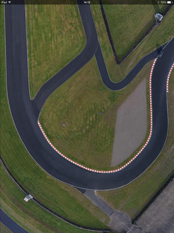
An offline viewer for maps collected by UAV & UAS operators. DroneLab lets customers and their clients view the results of aerial surveys in the most interactive & intuitive way possible using the touchscreen interface and the high resolution retina display to present your maps as youve never seen them before. Orthomosaics are automatically preprocessed for speed & efficiency and are then made available to download (wed recommend that you do this over a wi-fi connection) to your device to be viewed offline.